Recovery companies on new asphalt
Wednesday 14 October 2015
Over the past twelve months, new IM roads have been taken into use near Steenbergen, Leeuwarden and Sluiskil. The road builders have now handed over this fresh asphalt to the IM recovery companies active in the areas in question. Stichting Incident Management Nederland this week integrated the new and relocated hectometre markers on these roads in its map.

The most important new roads are the A4 motorway at Steenbergen, the N31 below Leeuwarden and the Sluiskil tunnel in Zeeland Flanders. The new section of motorway at Steenbergen is 15 kilometres long, and links the end of the A29 motorway at Dinteloord and the A4 motorway above Bergen op Zoom. The road was opened to traffic on 21 November 2014. The so-called 'Hook' around Leeuwarden opened one month later, and now provides Leeuwarden with a ring road without intersections.
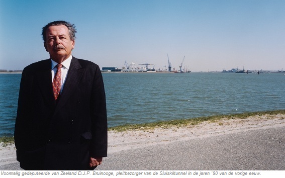
The Sluiskil tunnel, finally, is the fulfilment of a dream held for dozens of years by the administrators of Zeeland, and was opened on 23 May 2015. The tunnel and the new sections of N62 trunk road on both sides provide a direct link between the Western Scheldt tunnel and Belgium. In the past, traffic on this route had to make use of a bridge that had to be opened on average five hours a day to allow seagoing vessels to pass.
The previous update of Stichting Incident Management Nederland's map was carried out in October 2014. Normally speaking, the map is updated every six months. This was not possible this year due to the switching of the operation of the National Centre Reporting Point (LCM), the central control room of Stichting Incident Management Nederland, to a new market party. The update of the map and the systems connected to it was made possible by data managed by the Department of Public Works and Water Management, in the National Road Database (NWB).